French photographer living in Portugal, I am a professional drone pilot since 2016.
As such, I have produced numerous photo and video reports for real estate agencies in the Algarve. I also specialized in technical aerial photography to complete topographical surveys and surveying, to also carry out 3D building modeling and finally to ensure inspection and site monitoring with professionals.
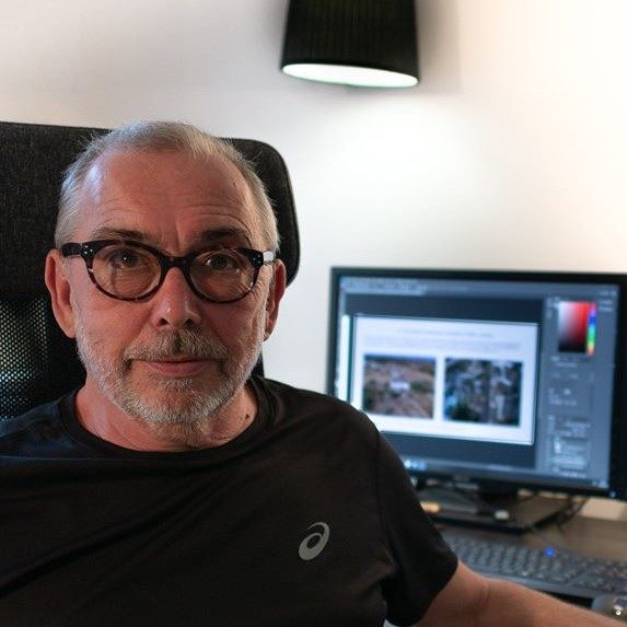
Florent Stepin
Drone mission
Short video presentation of photogrammetry and technical photos taken with a drone
I offer all my services to both individuals and professionals..
Photographs of monitoring the progress of the construction site of a renovation or construction or any exterior work. The mission can be weekly or monthly, it will allow you to follow and know exactly the progress of the work in relation to the schedule or the call for funds whether you are present or abroad.
- Carrying out aerial photographs for inspection of roofs, chimneys, solar panels and any high and difficult-to-access elements to help you anticipate the interventions necessary for their proper use or conservation.
- Carrying out a mapping mission (photogrammetry) of buildings or land for the exterior development of annexes, swimming pools, gardens or plantations. The purpose can be 2D or 3D images with very precise rendering of details (on the order of centimeters per pixel) which can be integrated into Google Maps or Google Earth or for the illustration of sales or rental documents.
Professional pilot, registered in Portugal, qualified and covered by insurance, I offer you a complete, tailor-made service, adapted to your needs, whether for a mission on a field, a house in the city or in the countryside.
After validation by the study of the GPS point of the possibility of carrying out the mission while respecting the use of airspace (restricted, prohibited areas, proximity to airports, barracks, sensitive locations, etc.)
I suggest:
A / Study package of €99 refundable in the event of it being impossible to carry out the mission including:
The study of the implementation and viability of the mission according to your request.
The study of the technical and environmental constraints of flight.
Any requests for administrative or neighborhood authorizations.
The study of the safety of theft of goods and people on site and in the surrounding area.
Flight scheduling based on the weather and environment.
I will ultimately provide you with an answer on the feasibility of the mission by integrating the constraints, restrictions and possible limitations.
After validation of the first step, I then suggest either:
B/ Inspection mission with a package of €249 including:
Travel up to 100km from Tavira limited to Portugal
The implementation of the protocol to ensure the flight in optimum conditions, safety, weather with a pre-reconnaissance flight
The start of the mission with ortho and/or oblique shots (depending on the purpose) with 60 photos maximum to cover the entire inspected area.
5 general aerial photos, including a panoramic photo, an ortho (vertical) photo and 3 lateral situational photos.
C/ Monitoring missions (construction site, planting) with a fixed price for each mission of €150 (with a minimum of 3 interventions)
Travel up to 100km from Tavira limited to Portugal
The implementation of the protocol to ensure the flight in optimum conditions, safety, weather with a pre-reconnaissance flight
10 general aerial photos, including vertical and lateral photos to follow the evolution of the situation.
D/ Photogrammetry processing mission (point cloud) with a fixed price of €399 for:
Travel up to 100km from Tavira limited to Portugal
The implementation of the protocol to ensure the flight in optimum conditions, safety, weather with a pre-reconnaissance flight
The start of the mission with ortho and/or oblique shots (depending on the purpose) with 120 photos maximum to cover the entire mapped area (maximum 1Ha).
Creation of a 2D plan allowing precise surface and elevation measurements
Creation of a simple 3D image (land or building) for integration into a brochure or a project.
Important: The aerial photos taken during these missions are not accurately geo-referenced, these missions do not replace a topographical survey which remains necessary for the production of construction, surveying or land management plans carried out by a professional in topographical surveys.
However, at your request, I can collaborate with a topographic technician or an engineer to complete their topographical surveys with orthophotos which can then be used in 2D plans or 3D images.
The photos and plans will then be geo-referenced precisely (on the order of centimeters) thanks to the use of correction targets set up on the ground before or during the topographical survey.
For this type of special request, as well as for aerial videos, 360° interior photos, or any other video or photographic report, you can contact me for further information and personalized quotes.
Thank you and see you soon.
Drone photos for mapping and 3D image presentation
Contact us
We operate throughout the Eastern Algarve, from the Spanish border to Faro, from the coast to the interior.
Copyright. Tous droits réservés.
Nous avons besoin de votre consentement pour charger les traductions
Nous utilisons un service tiers pour traduire le contenu du site web qui peut collecter des données sur votre activité. Veuillez consulter les détails dans la politique de confidentialité et accepter le service pour voir les traductions.